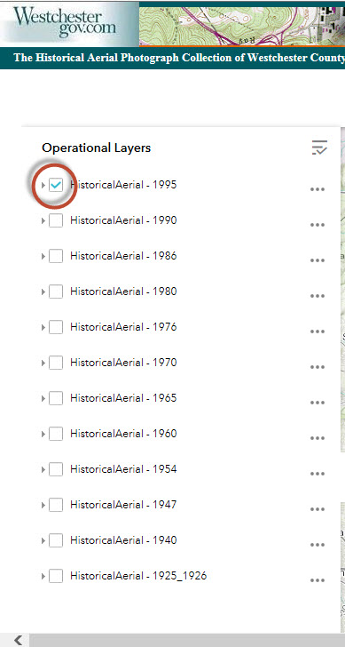
Help
There are 12 flight years (1925 and 1926 are combined into one flght year)
listed at the table of comtents (Operational Layers). Click the check box next to the flight year of
your choice to open the Aerial Photo index map.
The image index
points are displayed.
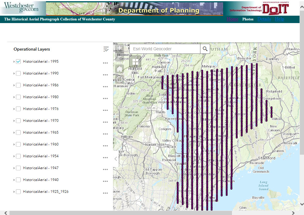
As you zoom in
to a certain level, each individual index points will be displayed. You can then
click on the index point of your choice.
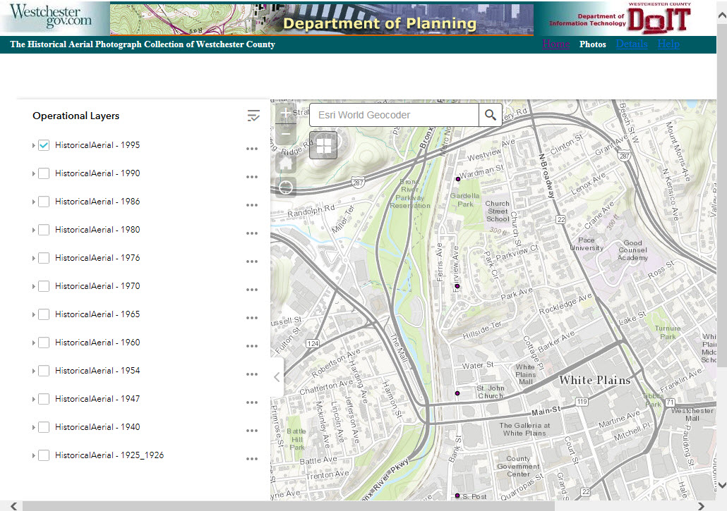
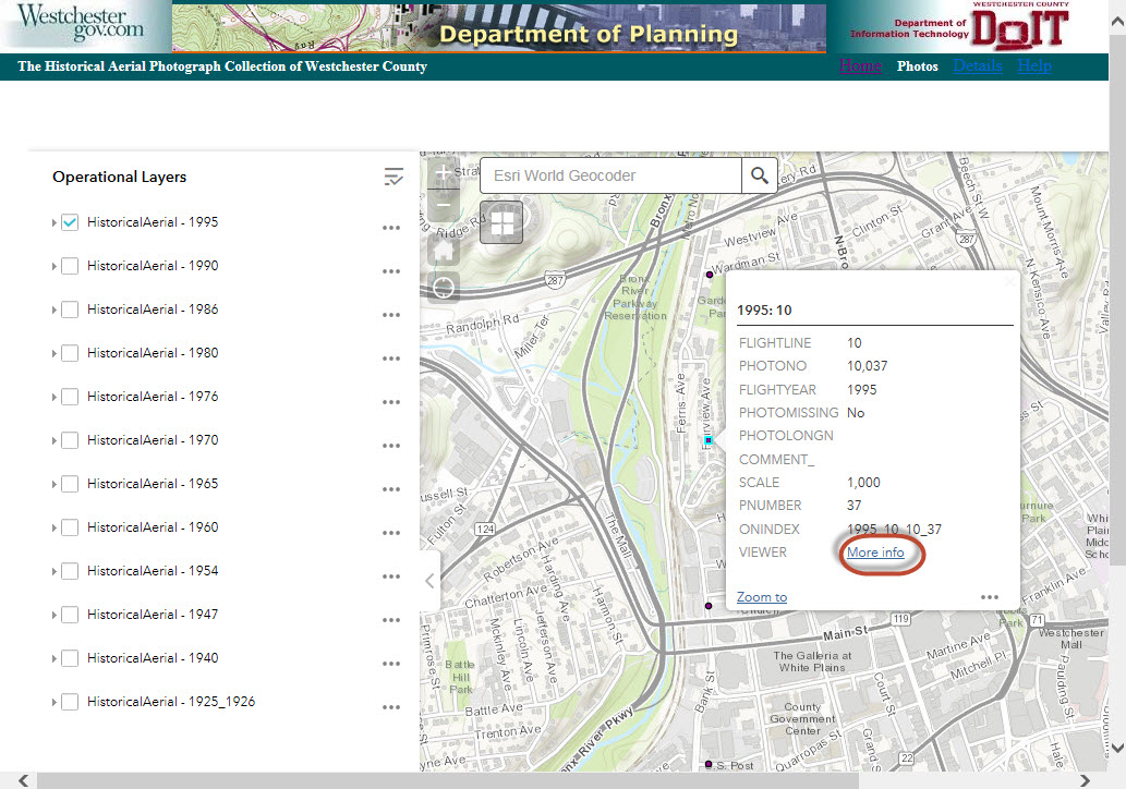
Once the index
point is clicked, the information popup window is displayed. You can then click
the "More Info" Hyperlink from the popup window to open the image viewer.
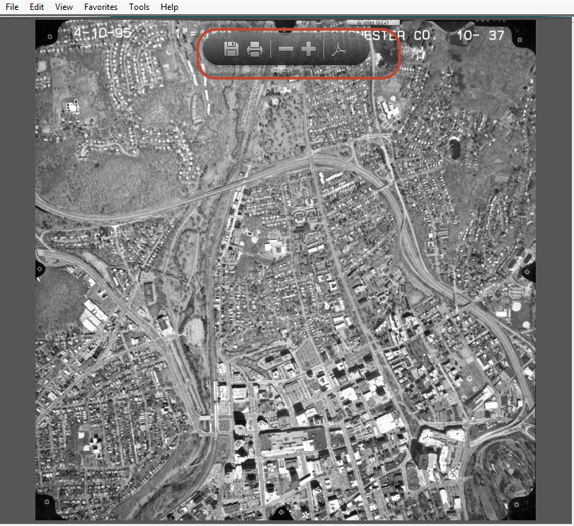
A separate image
viewer window is opened to display the image. The image viewer window also
provides a set of browser specific tools for downloading, printing zoom in zoom
out etc.
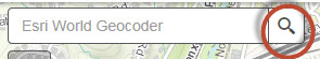
You can also
locate an address on the map first and find the vicinity aerial photos by
clicking the magnify glass to open the Search prompt. The magmify glass is located at the upper-right corner of the screen.
you can either type in an address or an intersection of cross streets.
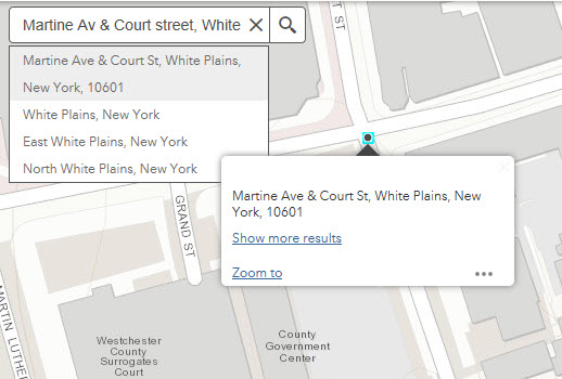
Type in an
address or an intersection in the blank on Search prompt and then click the small magnify glass next
to it. A black dot will be added to the map to represent the address location
with an information window.
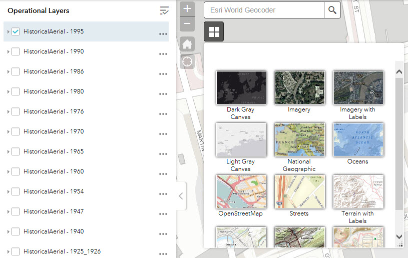
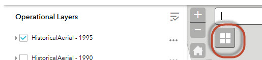
You also have
the option to choose different basemap as your reference by clicking the Choose
Basemap icon located on the right of Legend pannel:
You can switch
the basemap by clicking on one of these options: